Loading page content…


Loading page content…
Water levels, surface temperatures, wind & wave forecasts, fishing solunar tables, and public boat ramp access across 1,500+ monitored lakes.

Solunar bite times, water clarity & barometric trends

Wind speeds, wave heights & public boat ramp access

Sustained wind velocity, localized gusts & marine alerts

Sheltered coves, calm surface windows & canoe launches

Surface water temperature, clarity & swimming comfort
Water levels, surface water temperatures, wind & wave forecasts, and recreation access for top-visited waterbodies.
Browse lake conditions, active USGS streamflow gauges, boat ramps, and fishing regulations across all 50 states.
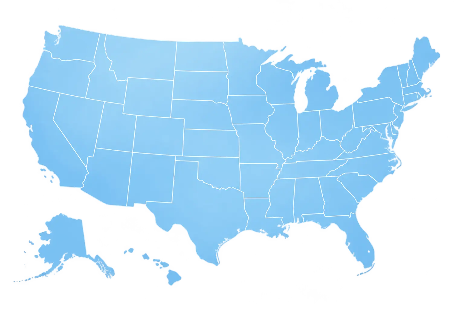
Select any state to view local lakes, active river and reservoir gauges, and current water outlooks.
LakeRadar operates on real sensor telemetry from federal and state hydrological stations. Every lake reading links directly to its physical reporting source.
Stage heights, flow discharge, and reservoir pool levels ingested directly from USGS National Water Information System stations.
Real-time wind, wave outlooks, atmospheric pressure, and marine alerts from National Weather Service observation stations.
Automated ingestion pipelines verify station reporting timestamps every hour so you never rely on stale or estimated readings.
Public water resources belong to everyone. LakeRadar provides 100% free access to verified public hydrology telemetry.
South DakotaReservoir


